Riley County, KS- Last week, Governor Kelly proclaimed November 16 as GIS day in Kansas, recognizing that use and application of geospatial technology is crucial to operating our infrastructure, sustaining our natural resources, and stimulating economic growth. Although we benefit from the work of Geographic Information Systems (GIS) departments across the nation, most of what they do happens quietly behind the scenes.
For example, did you know you can look at a map online that includes the streets, wagon trails, schoolhouses, and railroad tracks in Riley County in 1881? You can see the exact areas impacted by the 1993 flood, or find out if a home is in the current flood hazard area. You can also view custom maps that highlight all the parks, trails, and disc golf courses nearby. A little exploration into the world of data mapping can reveal a lot about the amazing place where we live.
If this is the first time you’ve heard of it, Geographic Information Systems basically connects data to a map, integrating location (where things are) with descriptive information (what things are like there). This provides a foundation for mapping and analysis used in science and almost every industry.
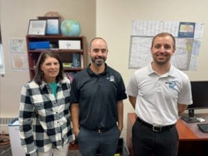
In Riley County, the GIS department consists of three people; Jacob Galyon, Sherie Taylor, and Will Habiger. They maintain maps and data to support all county departments, plus realtors, local engineering companies, students, historians, and the general public.
“We maintain data for decision-making and package it so it’s easy to use,” said Jacob Galyon, Sr. GIS Analyst. “A typical day involves making sure everything is up and running. An unusual day might involve building an App to catalog property damage after a tornado or printing maps for a local hunter; it just depends on what people need.”
One of the unusual days happened this June when the F1 tornado hit and the damage assessment team was deployed. Following the response, Riley County Emergency Management, Appraisers, and GIS determined the need for an updated system to streamline the damage assessment process.
“Jacob mentioned he had the ability to build an App for future use,” said County Appraiser Anna Burson. “Working together, we fine-tuned what needed to be in the App and how we wanted this to work to prepare when disaster strikes again. I’m very thankful to our GIS/IT team as we explore new technologies and streamline processes to help homeowners across the county.”
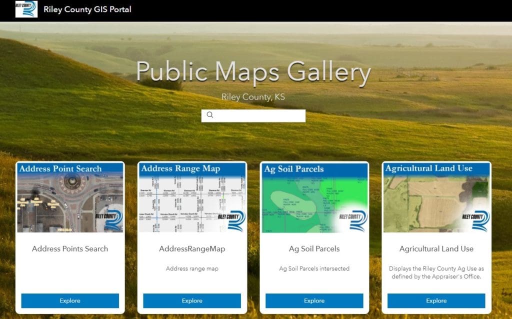
Some data sets, such as the damage assessment details, are available only to staff. Other maps are free and available to the public through the online Riley County GIS Community Viewer. In 2016, the department won a Special Achievement Award for creating a Public Maps Gallery featuring curated content that is easy to use on a smartphone or tablet.
“When I started working with Riley County in the 80’s, all of this work was done by hand using protractors and rulers,” said GIS Analyst Sherie Taylor. “When we got the ESRI software in 1998, it changed everything. Now, title companies and realtors couldn’t function without GIS data. Everything would slow to a crawl without it.”
Improvements to the already impressive technology are constantly in the works and new images for Riley County maps are gathered every two years by a plane that flies over the territory.
“Right now, property lines on the map are fairly accurate visual representations, but they are not survey quality. We’re looking to change that over the next few years,” said Galyon.
In the world of technology, keeping up with new innovations is a constant challenge.
“I’m grateful the county recognizes the importance of this work and makes sure we have the tools and training we need to be successful at our jobs. It’s a lot to take in but I don’t want the public to be scared to ask questions. Even if you just need to know how to get started, we’re happy to help – just call us,” said GIS Analyst Will Habiger.
The Governor’s proclamation reminds us to pay attention to important work which keeps our society running. We are proud of the work done by the Riley County GIS Division. If you have some downtime over the holiday weekend, this would be the perfect time to explore.